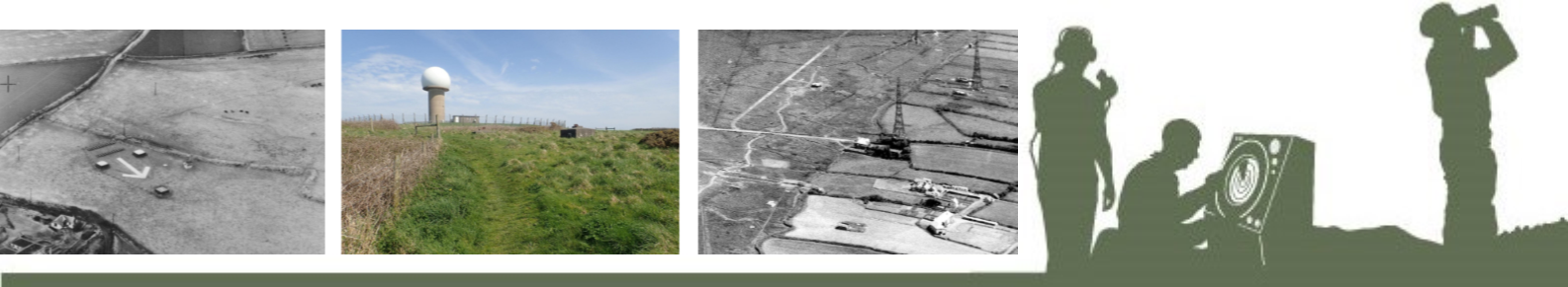
A network of Radar stations was developed along the North Devon Coast during World War II.
At the time, Radar was an emerging technology and its development played a pivotal role in Britain’s defence. Radar was part of a highly sophisticated early warning and rapid response system, known as Coastal Command.
The threat of attack from German submarines (the infamous U-boats)and from the Luftwaffe overhead, was ever present. Britain’s response was to develop a network of Radar stations that stretched almost all the way around Britain’s coastline and could detect enemy presence, from both the surface of the sea and from the air.
The remains of three RAF stations can be seen along our coastline – at Hartland, Northam and Putsborough.
FIND OUT MORE
Putsborough’s bombing range RAF Hartland Point Northam Burrows’ Radar Station