Clovelly Dykes Visit
On a cold Monday morning in mid-October North Devon Archaeological Society arranged a very special site visit to the historic scheduled monument of Clovelly Dykes which is located in the North Devon AONB near Clovelly Cross.
This special and nationally designated monument lies adjacent to the busy A39 but is hidden from public view by a line of trees and with no public access to the site is a real historical “hidden” gem.
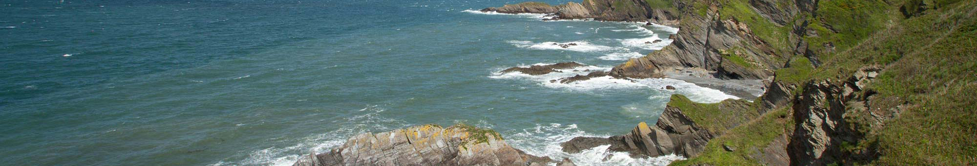
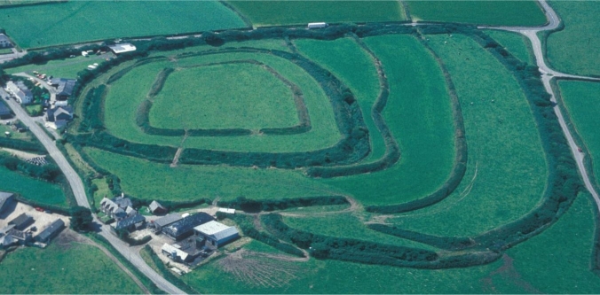
Described in the National Historic register as a “Multivalle Hillfort” it sits on an upland ridge which provides spectacular far reaching views of the area, both inland and out to sea. The site is roughly 85 hectares in area and comprises of a series of roughly circular banks, it is purported to date back to the Iron Age.
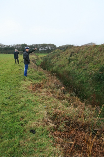
In attendance were members of the North Devon Archaeological Society, Clovelly Estates landowner John Rous, many of which are on the AONB Partnership, AONB Project Officer Dave Edgcombe and CountyArchaeologist Bill Horner. “This is a first for me” said Dave, who after 33 of years working in the AONB had never visited the site before, indeed long serving County Archaeologist Bill Horner also admitted it was a first time he had stood on the site as well.
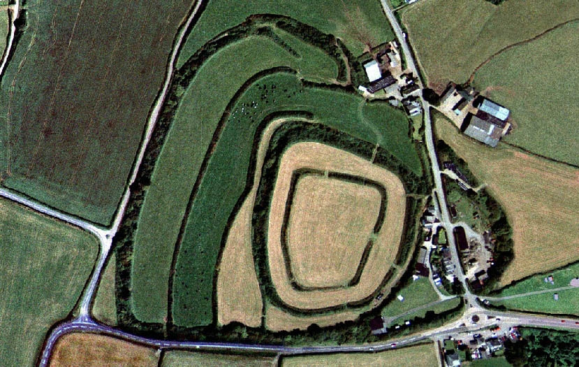
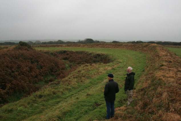
Despite the cold damp and misty weather the site did not disappoint, revealing an impressive array fortified banks and ditches, better preserved than any other Iron Age site within the AONB. At the end, comparisons were being drawn to Dorset’s impressive “Maiden castle”, one Europe’s finest Iron Age defensive sites. The purpose of the visit however, besides viewing in awe the remaining earthworks, was to undertake a pre-site assessment for a potential archaeological investigation within the area. If you look at an aerial photograph of the site, you will see that the A39 road appears to have truncated the southern boundary of the site however, there are no visible remains in the fields to the south of the A39. Historical evidence would indicate that there was a road running to the south of the site by 1760 and it was suggested that any banks south of this road would have been taken out. There the story would have ended, but in 2014 with grant support from the English Heritage, and as part of a National Historic Mapping Project, Devon County Council undertook a re-survey of the North Devon AONB using old aerial photographs.
During these investigations, old RAF photographs for 1947 seemed to reveal crop marks in the ground in these southern fields, indicating the possibility of remaining earthworks below ground. It is therefore hoped, during the course of this winter that the land south of the A39 will be surveyed using resistance meters and gradiometers (like those you see on time team) to see if any below ground evidence remains. This equipment can measure the resistance in the ground revealing evidence of previous earthworks and ditches, without the need for expensive and unsightly excavations.
Given the extensive nature of the earthworks to the north of the A39, it would appear that this would have been an important and large Iron Age site, the geophysical survey will hopefully reveal a much larger site than originally imagined and thereby increasing the level of importance of what is already a significant historical site.
Our thanks are extended to landowners Clovelly Estate and East Dyke Farm tenant farmer Stephen Goaman for allowing access to this special and unique site.
Dave Edgcombe
North Devon Coast AONB Project Officer